What Is This Proposal?
From source to mouth.
Explore the cultural landscapes of life along the Shimanto and Yoshino Rivers.
Why Propose It as World Heritage?
Rivers connecting mountains and the sea
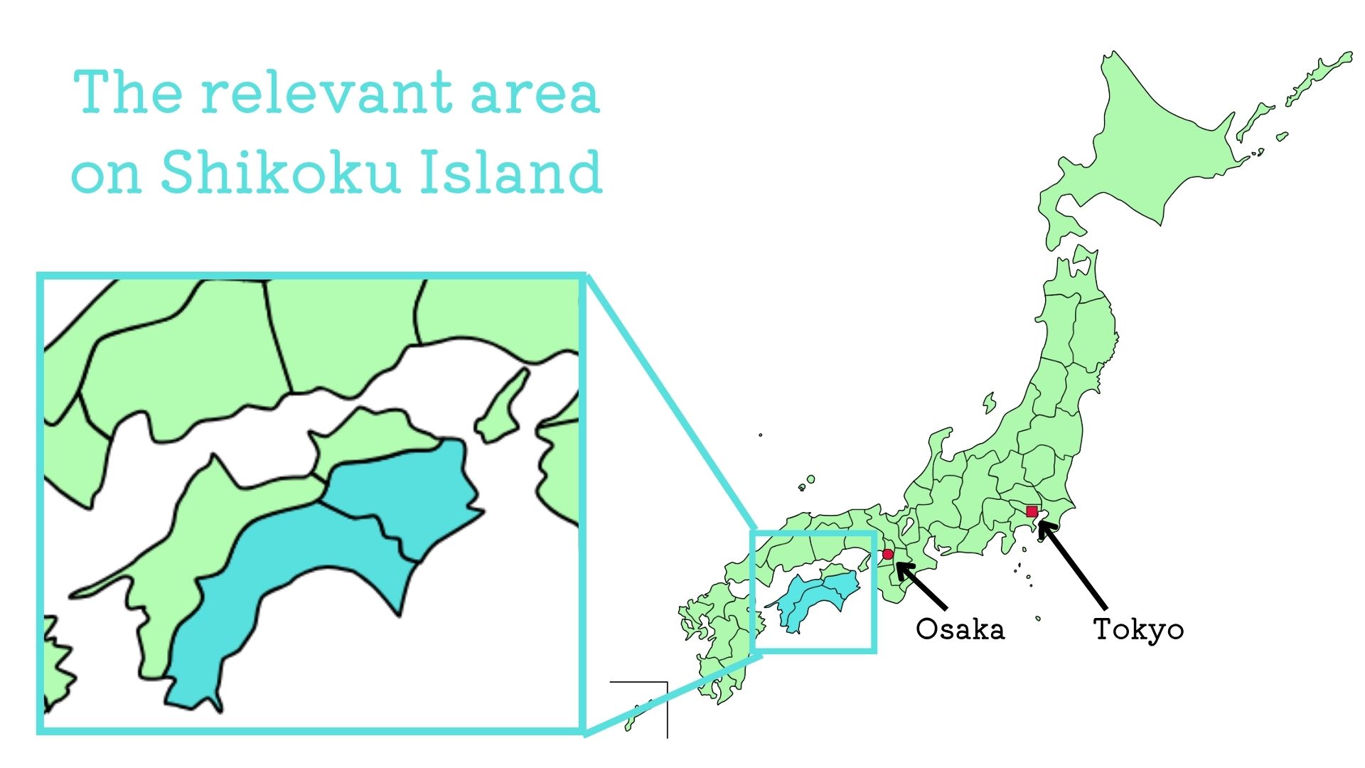
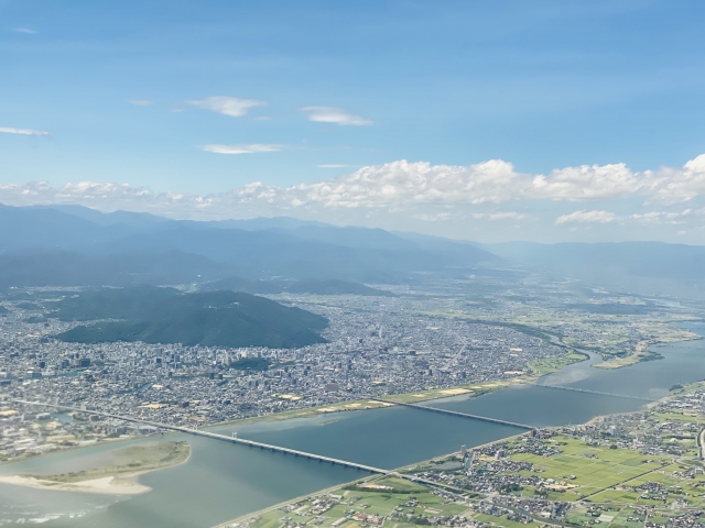
In Shikoku, rivers flow down from the mountains in the center of the island to the Seto Inland Sea and the Pacific Ocean over relatively short distances.
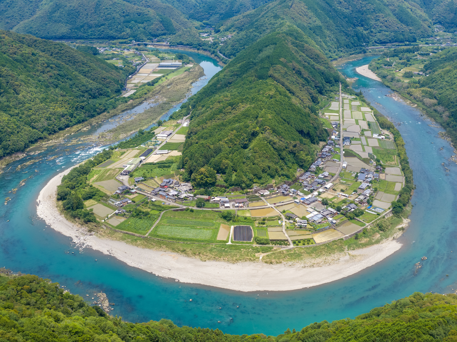
As a result, different environments and patterns of land use are found in succession, from mountain villages at the headwaters and forests in the upper reaches to gorges and rural communities in the middle reaches, plains downstream, and cities and maritime transport around the river mouths.
That is why Shikoku contains such a concentrated sequence of changing riverscapes and human life.
Details (Rivers connecting mountains and the sea)
Shikoku has a distinctive topography in which steep mountains occupy the center of the island, with rivers flowing down from them toward the surrounding seas. Because the mountains are relatively close to the sea, rivers change dramatically in character between their headwaters and mouths.
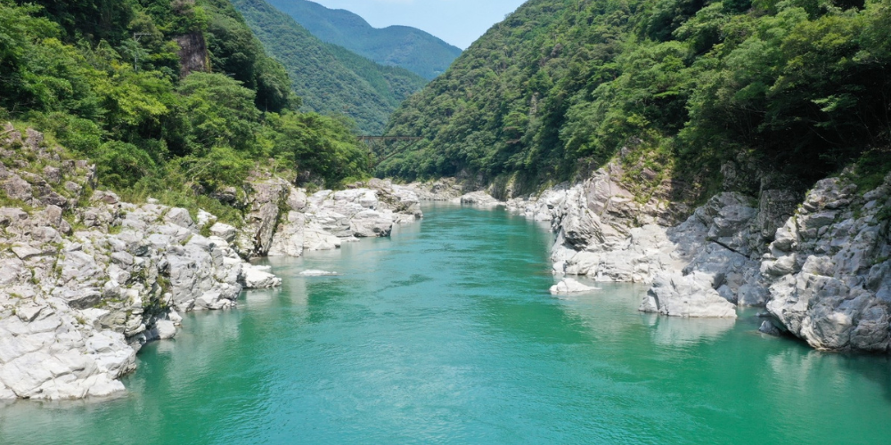
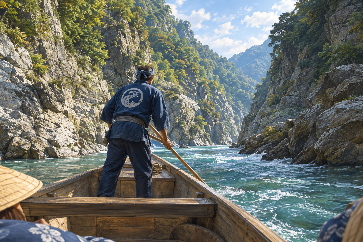
Forests and mountain villages spread across the headwaters and upper reaches, where land use such as forestry and terraced rice fields developed in response to the mountainous environment. In the middle reaches, gorges, river terraces, and floodplains appear, supporting agriculture, settlements, transportation, and river transport.
Further downstream, broad plains and river mouths have formed, where a wider range of river-based activities developed, including indigo cultivation, water use, flood control, urban development, and maritime transport.
In this way, following a river in Shikoku from its source to its mouth makes it possible to trace continuously the changes in terrain and water environments, as well as the ways people have adapted their lives and land use to those changing conditions.
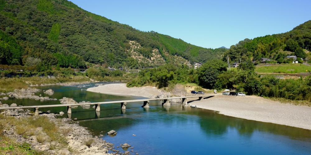
This is not simply a matter of preserving a "long river." The value lies in how the island environment of Shikoku, where mountains and the sea are relatively close, has itself provided the setting for the development of diverse river cultures.
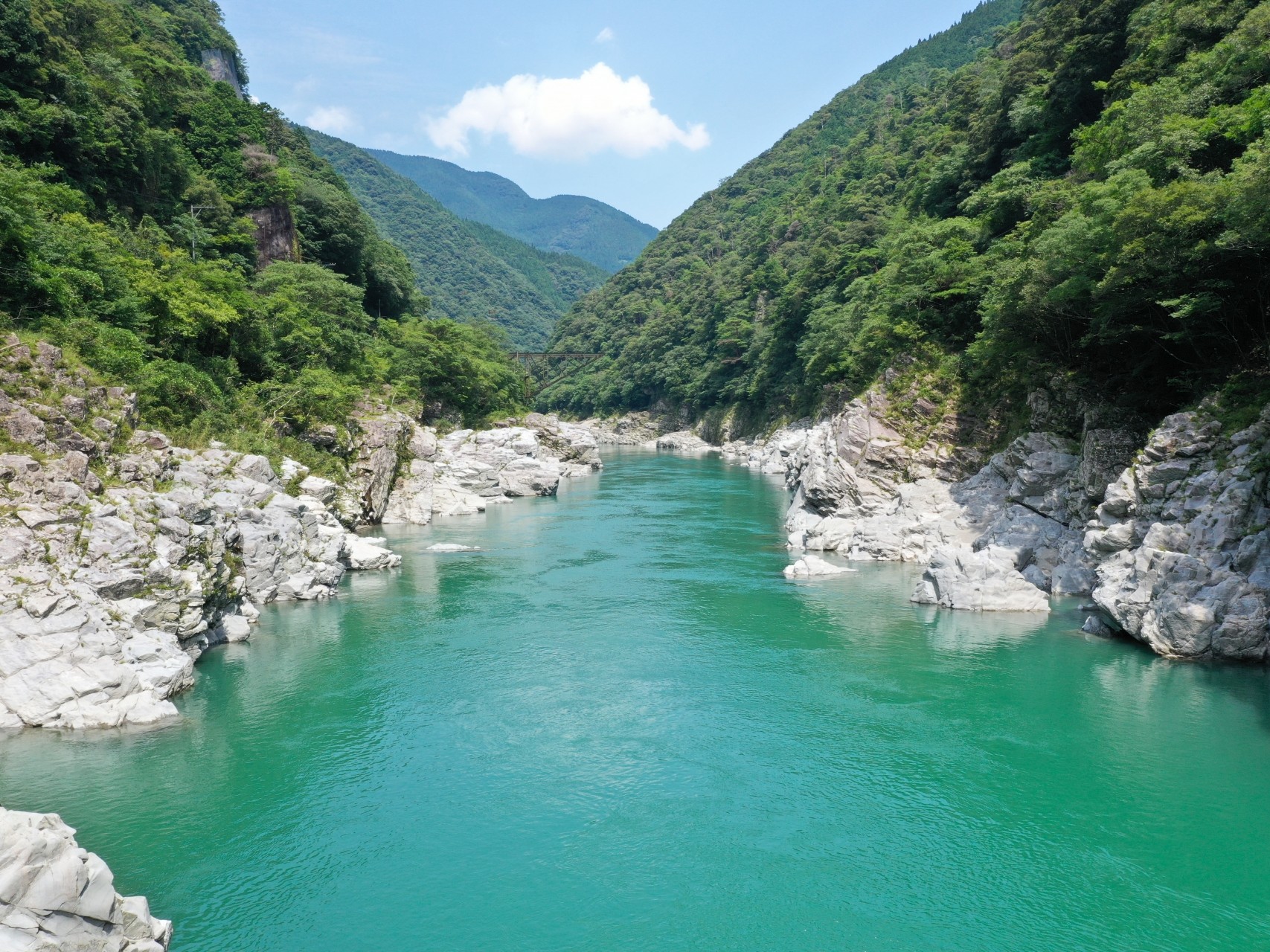
A culture of living with rivers
Along the Shimanto and Yoshino Rivers, diverse ways of life connected to the rivers have developed in response to their respective terrain and water environments.
Forestry and agriculture, river fishing, timber floating, river transport, indigo cultivation, water use and flood control through weirs and levees, and maritime transport at the river mouths. These activities reflect a history in which people did not simply accept the rivers, but used them and, at times, reshaped them as they lived alongside them.
These accumulated practices have shaped the river landscapes of Shikoku.
Details (A culture of living with rivers)
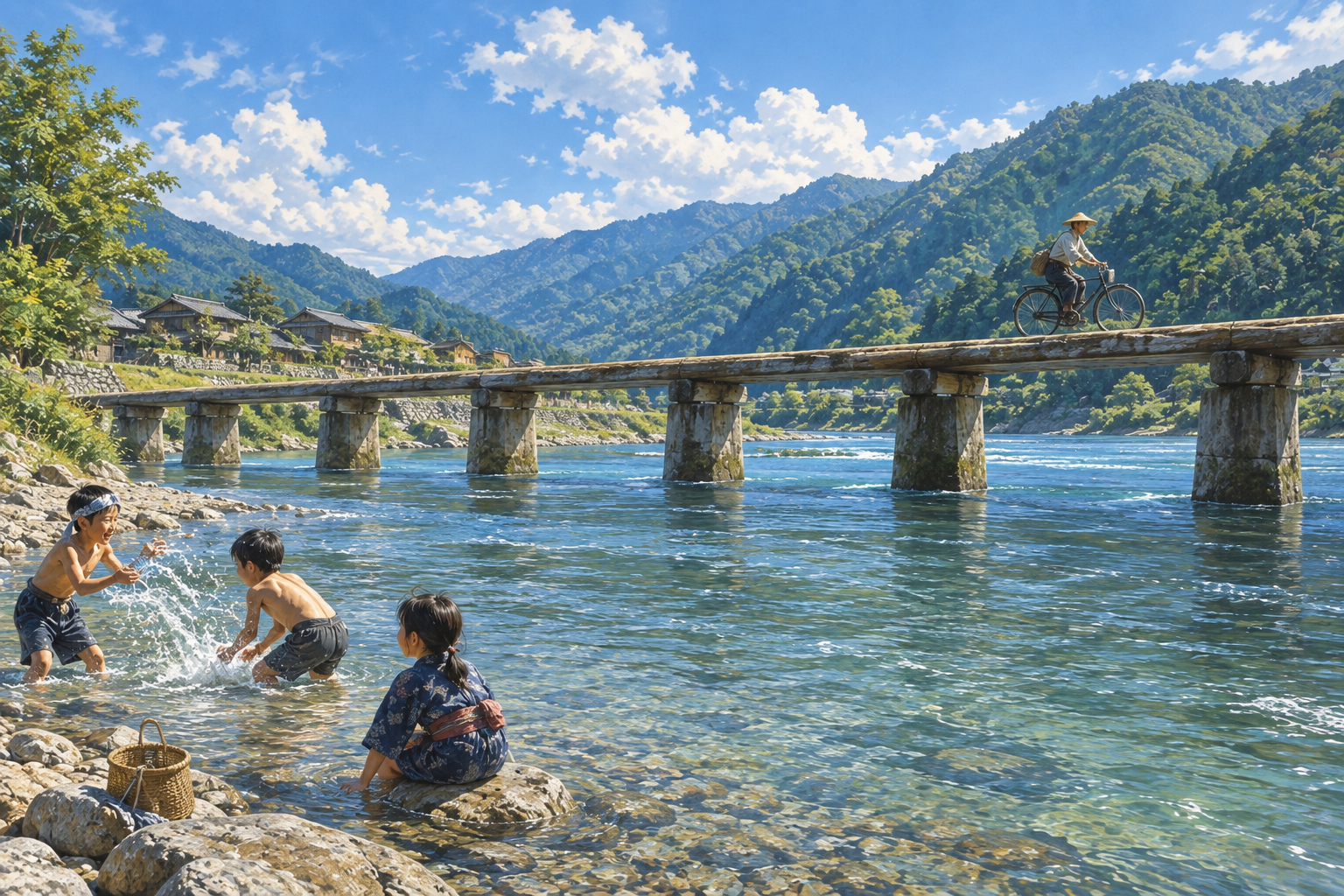
Along the Shimanto River, ways of life developed in response to the river environment, ranging from mountain villages, terraced rice fields, and rural settlements to river fishing, river transport, and downstream livelihoods. Different landscapes have survived in succession from the headwaters to the lower reaches.
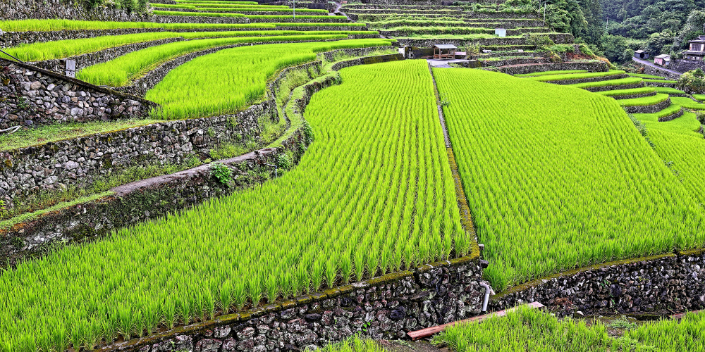
Along the Yoshino River, timber floating and river transport developed through the use of forest resources in the mountains, while settlements formed around the gorges and riverbanks in the middle reaches. On the downstream floodplains, indigo cultivation developed using the fertile land created by flooding, forming landscapes that supported the production and distribution of indigo.
At the same time, the Yoshino River was also prone to frequent flooding. Zenzu-jima, the Dainawa Weir, and levees demonstrate how people have both made use of the river's water and adapted to the threat of floods.
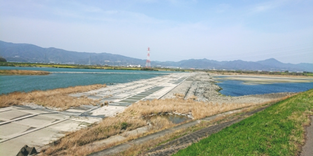
Closer to the river mouth, the river became increasingly connected with castle towns and maritime transport. In the castle town of Tokushima, water transport along the Yoshino River supported urban development, while river improvement works were undertaken to create an environment for transportation and flood control.
The Shimanto and Yoshino Rivers are different in character, yet both convey a history of people adapting to their river environments, making use of them, and at times modifying them as they lived alongside them. These accumulated practices have shaped the river cultural landscapes seen today.
In Shikoku, people's lives, livelihoods, transportation, land use, and approaches to flood control have changed in response to the changing river environments from the mountains through the plains to the river mouths. The Shimanto and Yoshino Rivers preserve these diverse relationships as continuous cultural landscapes.
River cultural landscapes that convey the relationship between people and rivers, from source to mouth.Comparison with World Heritage Sites
By comparing these landscapes with river landscapes already inscribed on the World Heritage List, the value of Shikoku's river landscapes becomes even clearer. ClickTap the image to see the comparison.
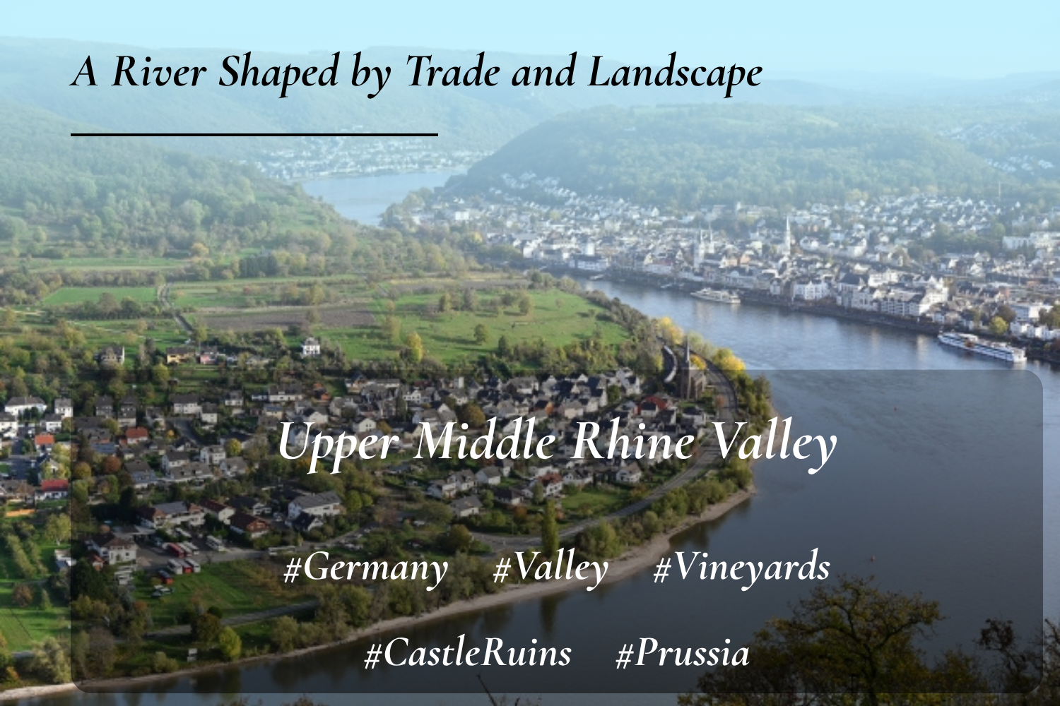
Similarities: A cultural landscape shaped in response to rivers and terrain
Difference: The Rhine Valley is a valley landscape characterized by concentrated river transport, settlements, and fortifications, while Shikoku presents a sequence of ways of life adapted to different environments from source to mouth
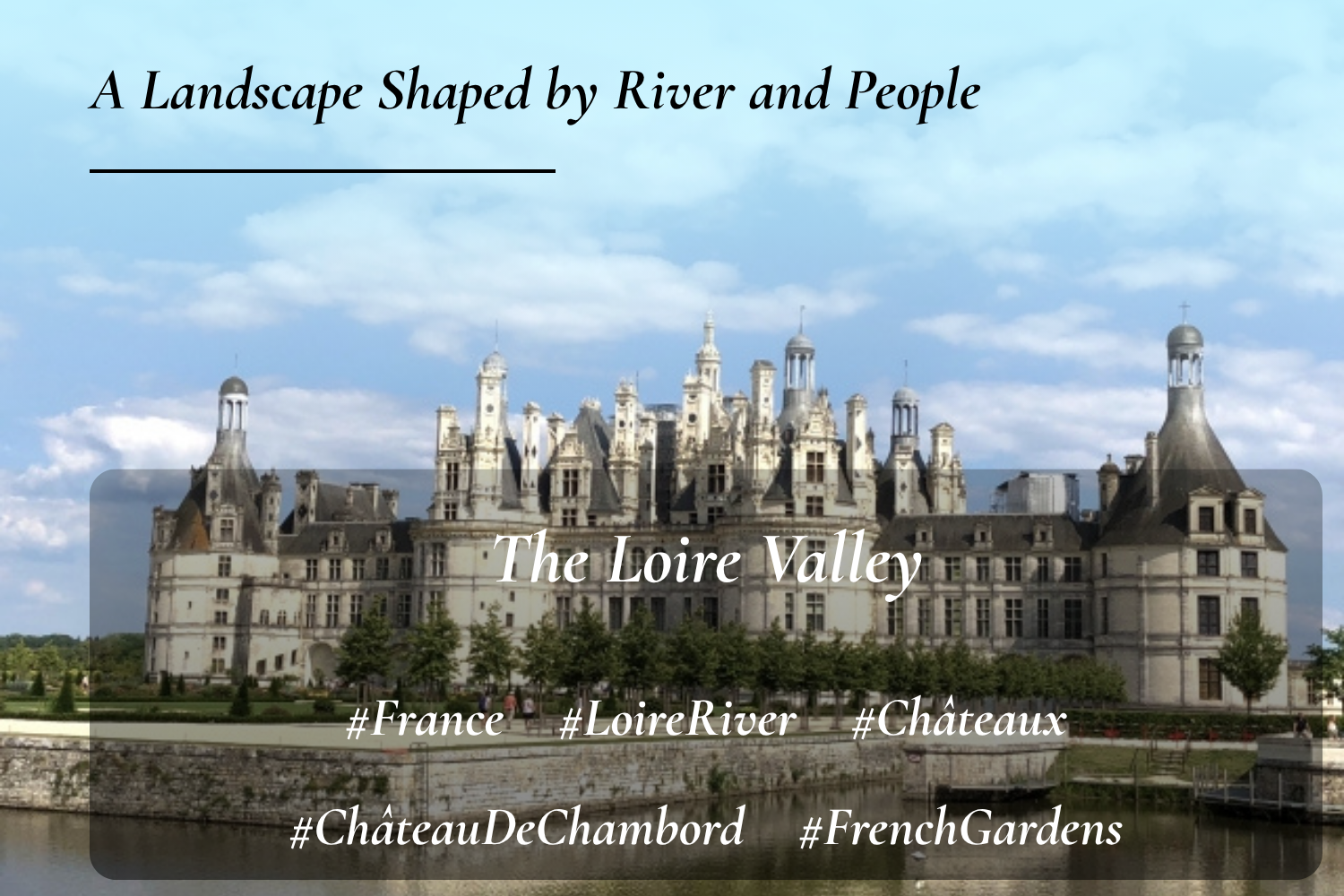
Similarities: A large-scale cultural landscape formed around a major river and its basin
Difference: The Loire is characterized by landscapes where châteaux, historic towns, and gardens are connected with the river, while Shikoku centers on ways of life associated with forestry, agriculture, fishing, river transport, and flood control
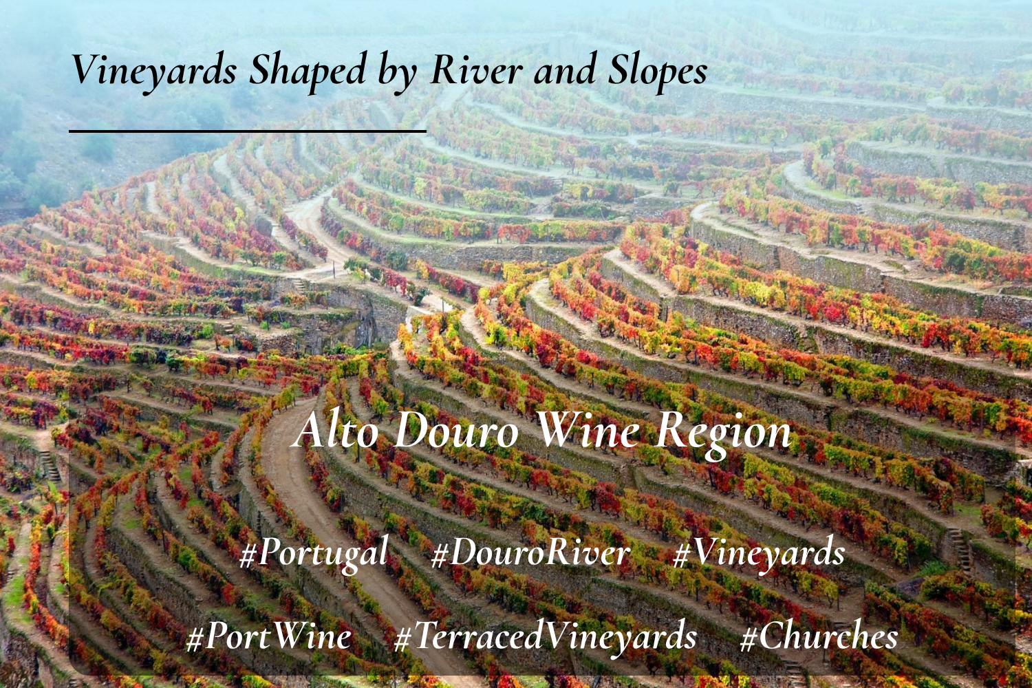
Similarities: Traditional land use and livelihoods adapted to river terrain
Difference: The Douro is centered on grape cultivation and wine production on steep slopes, while Shikoku has developed diverse livelihoods and ways of life that vary throughout the river basin
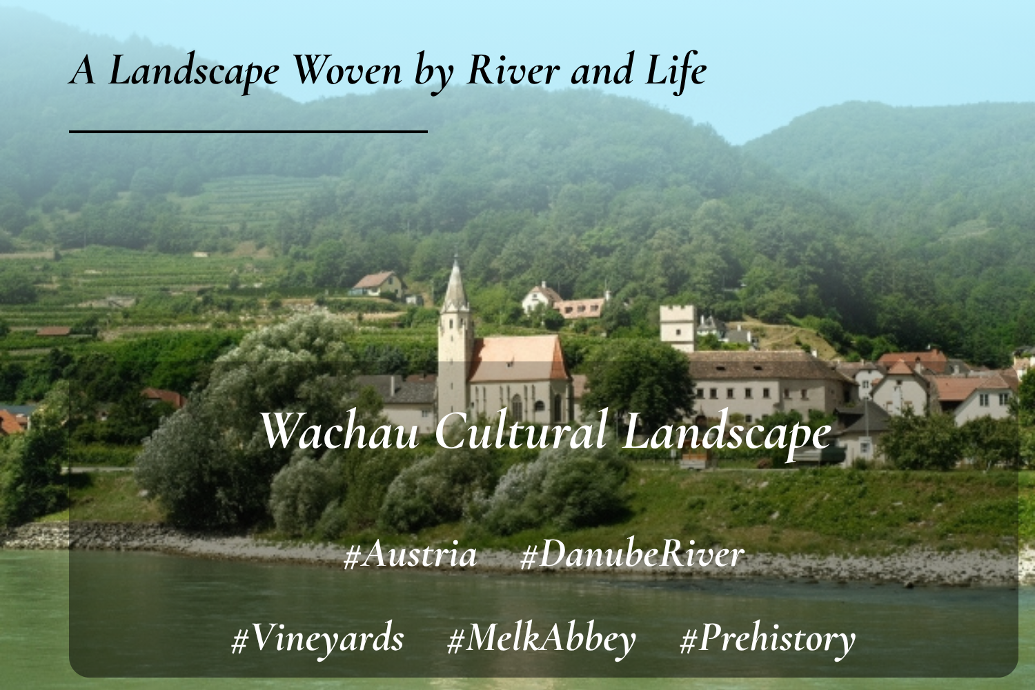
Similarities: A cultural landscape integrating rivers, settlements, agriculture, and transportation
Difference: Wachau is characterized by settlements, vineyards, and monasteries along the Danube, while Shikoku preserves a continuous sequence of river environments and ways of life adapted to the terrain from source to mouth
There are no World Heritage Sites in Japan that are similar to this proposal.
Many World Heritage Sites associated with rivers focus on a particular section of a river basin, but none evaluate a river as a whole from its source to its mouth. This makes Shikoku's river landscapes distinctive, as landscapes of land use from source to mouth are preserved within a relatively compact area.
Why Shikoku?
Let us now consider whether the characteristics discussed so far can also be found in rivers elsewhere in Japan. In conclusion, no other region in Japan appears to have the same combination.
Click clicktap on a region below to compare it with Shikoku.
Tap the △ and × marks to see a brief explanation.
Exactly. Only Shikoku can convey all of these elements at the same time!
Components
Next, here are the proposed component sites for this nomination.
Please note, however, that these are only representative examples, and should not be taken as a definitive list of "the correct sites."
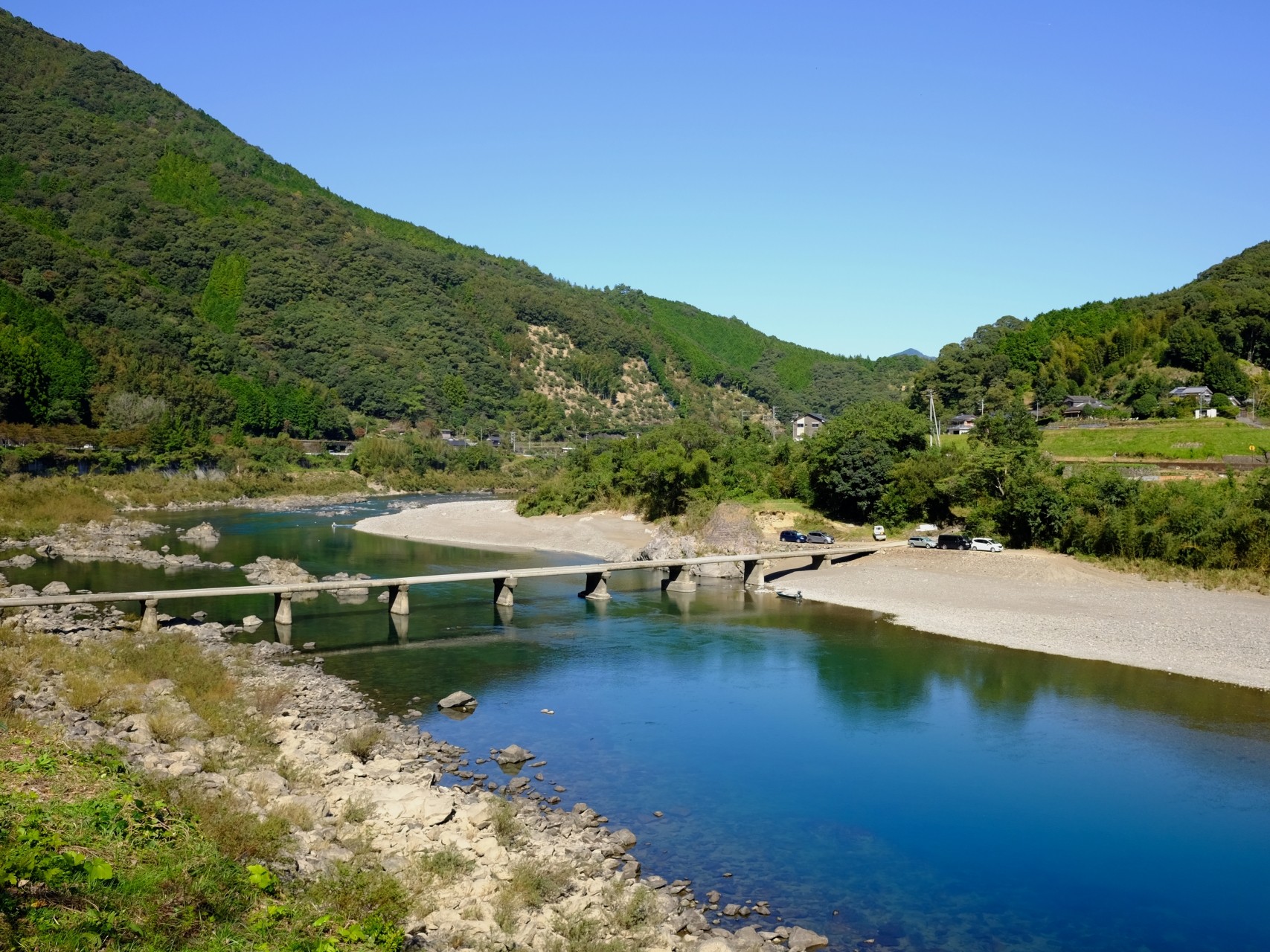
Cultural Landscape of the Shimanto
River
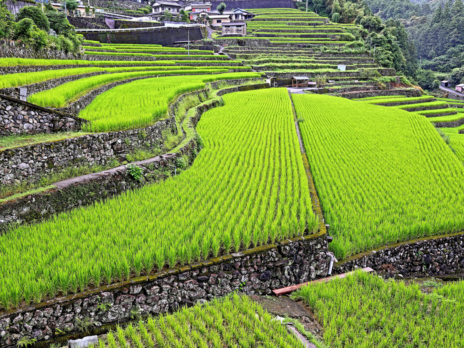
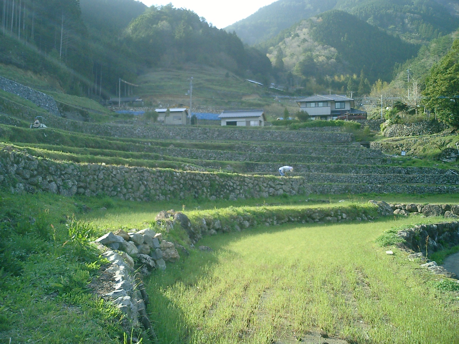
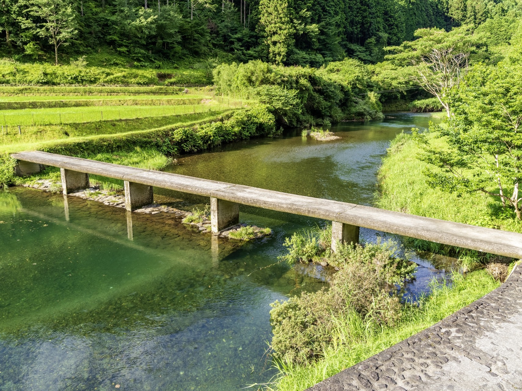
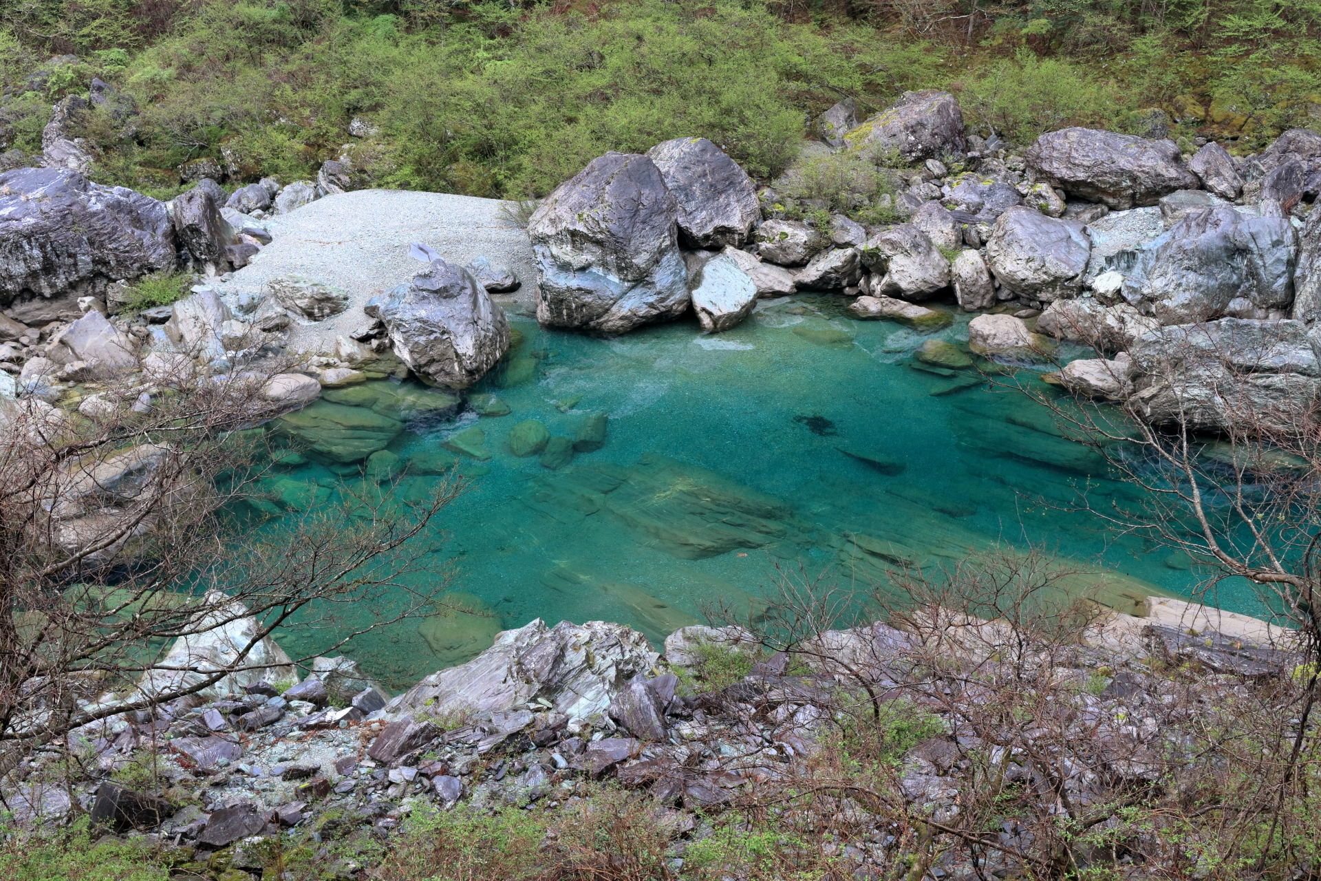
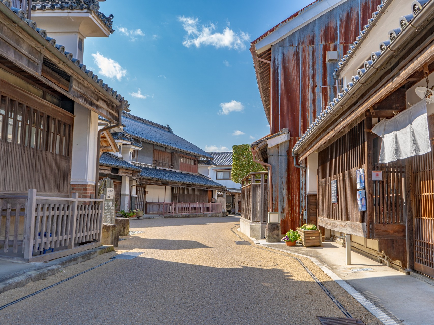
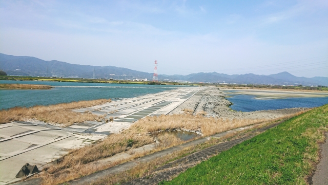
Cultural Landscape of the Yoshino River
Not currently designated as an Important Cultural Landscape by the Japanese national government, but presented here as potential components if designated.
Criteria
Let us now organize the values discussed above according to the World Heritage "criteria." This makes the significance of Shikoku's river cultural landscapes even clearer.
A culture of living with rivers
Diverse ways of life and livelihoods developed in response to river environments from source to mouth
In the basins of the Shimanto and Yoshino Rivers, livelihoods developed in response to different terrain and water environments, ranging from forestry and agriculture in the mountains to timber floating, river fishing, indigo cultivation, river transport, and maritime transport at the river mouths. These practices convey distinctive cultural traditions developed over a long period through the relationship between the rivers of Shikoku and the people who live alongside them.
Cultural Landscapes of Rivers and Human Life
Land use and living landscapes shaped in response to the natural environment from the mountains to the river mouths
In Shikoku, the relatively short distance from the steep mountains to the sea creates a continuous sequence of different river environments from the headwaters through the upper, middle, and lower reaches to the river mouths. People adapted to each environment by creating mountain villages, terraced rice fields, farmland, settlements, waterways, weirs, levees, and river transport networks while living alongside the rivers. This continuous landscape demonstrates the relationship between rivers and human life.
In Closing
Following a river from source to mouth, you can see how people in Shikoku have adapted their lives to the land and made use of the rivers. These accumulated practices have created landscapes found nowhere else in Shikoku.
A “World Heritage Site” like this—why not?